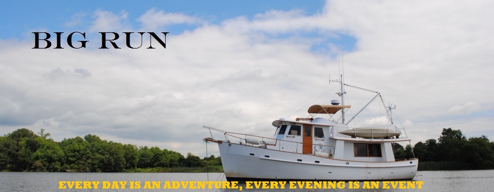
Have you ever seriously thought about living your dream? We did and now we are full time cruisers onboard M/V Big Run. Everyday is a new page to be written in our ship's log as we travel to new places and revisit some ol' favorites. Come along and share our experiences and journeys.

Comments to postings are welcomed. We have elected to moderate all comments before the comment is published, so be patient, you comment will be posted.


Welcome to our Adventure
Showing posts with label Best Scenic Waterways. Show all posts

Saturday, April 21, 2012

The Pasquotank River

     When you depart the Alligator River in North Carolina and are heading north, you must make a navigational decision - ICW Route 1 through Coinjock or ICW Route 2 through the Dismal Swamp.  We have always chosen Route 1 through Coinjock, whether we were heading south or north.  However, there is always an exception and that would be our migration north this spring, when we chose Route 2.  When you depart Elizabeth City, NC for the Dismal Swamp, you travel north on a river to access the Dismal Swamp Canal.  There is an abundance of wildlife on this river as shown in the photos below.  This river is our third installment in the Best Scenic Waterways.  This river is the Pasquotank River.


Thursday, April 19, 2012

Goose Creek

     We have passed through this waterway many times, but never on a sunny day.  Although each day was grey and overcast, it was always a beautiful and scenic waterway.  Located in North Carolina just south of the Pamilco River, the creek is about 5 miles long and is packed with swamps, marshes woodlands and small tributaries.  It has earned our title of best scenic waterway, this is Goose Creek.


Sunday, April 17, 2011

Waccamaw River

     This is the first entry into a new catagory that we will be labeling Best Scenic Waterways.  We first saw this waterway on November 2, 2010, when all the leaves had fallen from the trees.  Today, the leaves have started to return, and the river has more appeal.  Starting at Georgetown, SC and working your way north on the ICW to Enterprise Landing, you will have gone about 26 miles of this 140 mile long river.  At the southern portion, the river is flanked with bottomland "fields" and hardwood forest.  Traveling further north, you enter into cypress swamps.  As each mile passed and the river banks got closer, the birds became more evident, from Bald Eagles to Osprey.  The river is also home to the American Black Bear and Reptilian Monsters (alligators), but we did not see either.  This is the Waccamaw River.


Solitary riverside tree in the Waccamaw River bottomlands


Hardwood forest encroaching on the river


Bottomland fields and hardwood forest in background


Osprey nest


Cypress swamp


Cypress tree with Spanish Moss
Copyright 2007 and Every Year Thereafter.

All Rights Reserved Including Photo Images and Text.

In Other words - You May Not Use it, Copy it or Steal it!